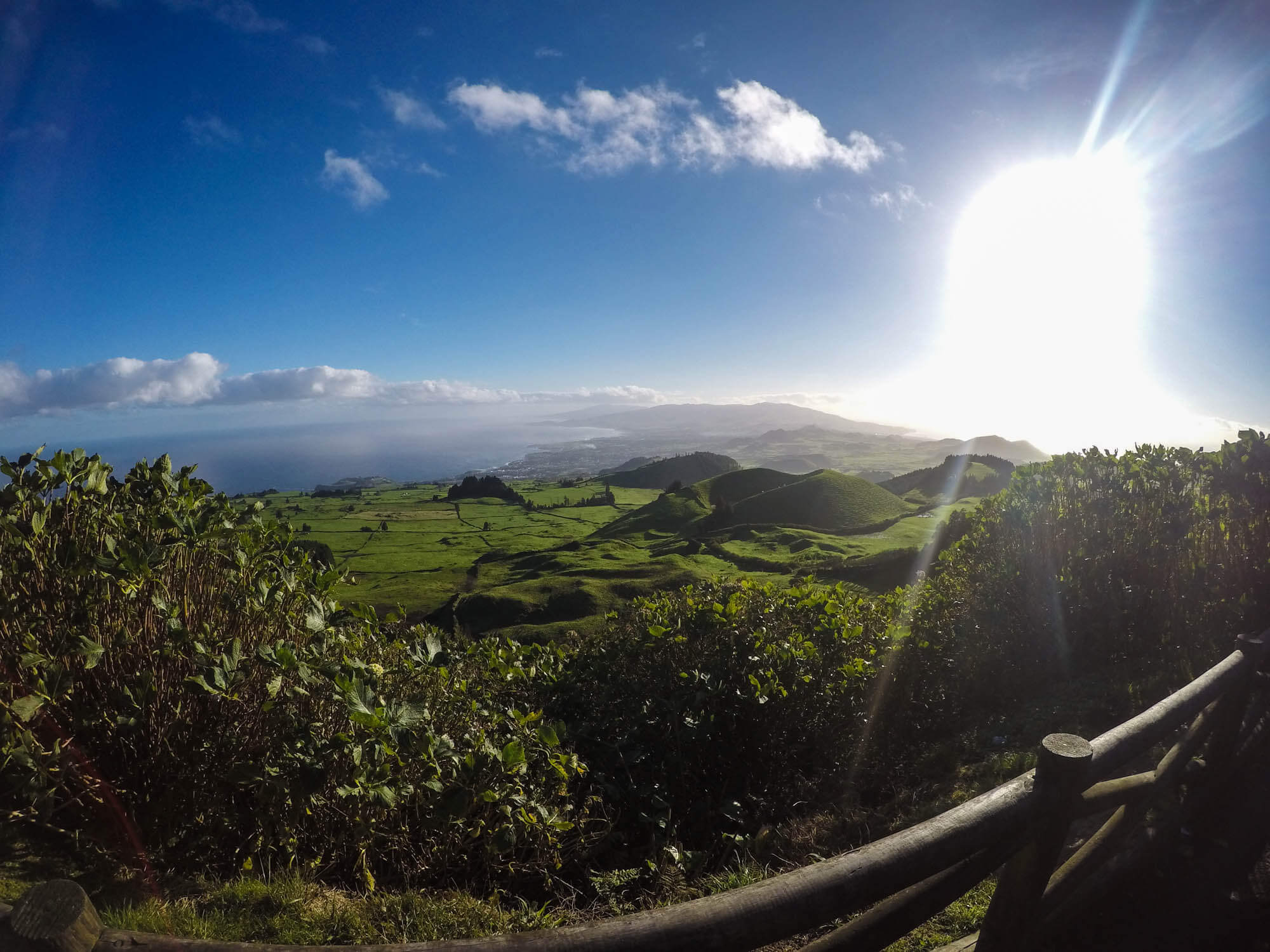

Azores Geographic location
The nine islands of volcanic nature that form the archipelago of the Azores are situated in the Atlantic North one third of the distance between Europe and North America with the latitudes 37º and 40º N and longitude 25º and 31º W, located close to the north Atlantic ridge on a group of tectonic faults that separate the European plaque from the American.
The geography of the Azores consists of islands that are divided into 3 groups: the Ocidental group, with the islands of Corvo and Flores; the Central group, formed by the islands of Graciosa, Terceira, São Jorge, Faial and Pico; and the Oriental group, with the islands of São Miguel and Santa Maria, in which we can also include the islets of Formigas as the eastern point if this group.
The maximum altitude of the islands differs greatly with 402 meters on the island of Graciosa and 2351 meters on the island of Pico, which is the highest point of Portugal.
The importance of the archipelago results mainly in its geographic location, giving important relevancy in some functionality as important activities related to its natural resources as such: fishing, agriculture, tourism, ocean studies and environment protection.